GIS: More than Just Mapping
You might have heard of the term GIS (Geographic Information Systems), but you are not alone if you’re wondering how this important technology is used. Over the holiday season, friends and family would occasionally ask me, “So you just make maps all day?”, and my response would be, “Well, yes and no.”
The True Power of GIS
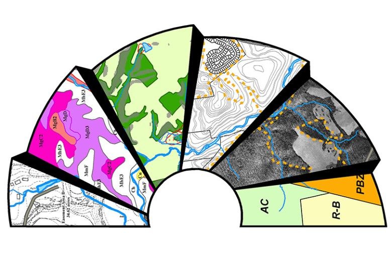
It’s true that with GIS, you can create detailed, informative, and beautiful maps. Cartography is an obvious and useful aspect of GIS. The true power of GIS, however, lies in its analytical capabilities; that is, its ability to answer questions about our world and its inhabitants, such as:
- Where’s the best place to build a library?
- How many people are within a 5-minute walking distance of a public park?
- How likely is a dangerous disease to spread in a developed area?
- Where are patches of good habitat for an endangered species, and how easily can the species travel between them?
All of these questions have spatial and informational components that can be incorporated in a GIS. GIS blends together geographical location and information (the “G” and “I” in GIS), i.e. not only where a wildlife refuge is, but also how many visitors it has, how many acres it has, what type of habitats are present, and how long the hiking trails are.
Brandywine Conservancy Protecting More Land Thanks to GIS
The Brandywine Conservancy uses GIS as an important analytical tool to help conserve natural resources in the Brandywine watershed and surrounding areas.
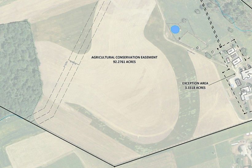
The Conservancy provides the Land Conservation and Stewardship team with site maps for acquisition and inspection of conservation easements. This image below shows a site plan for a prospective easement.
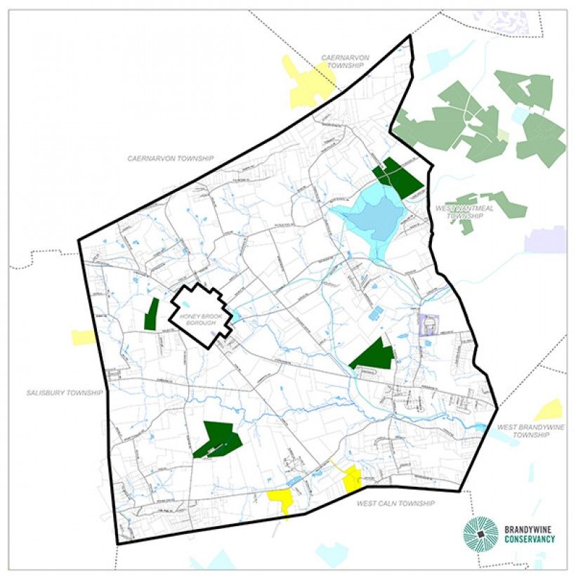
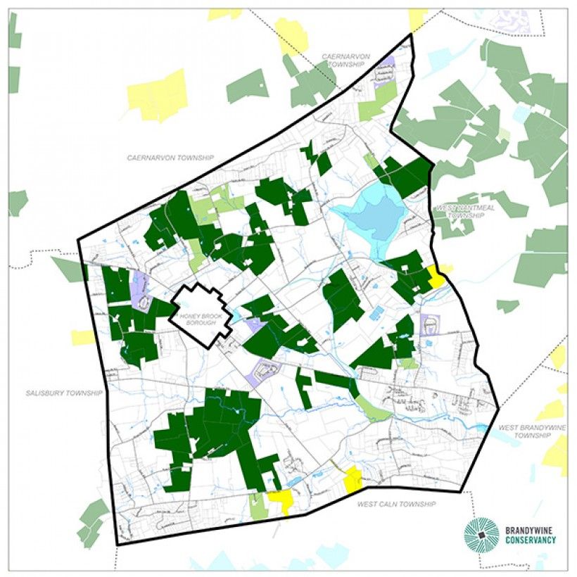
The Conservancy assists municipalities in southeastern Pennsylvania and northern Delaware with planning support that includes zoning, agricultural preservation, and comprehensive planning mapping. The following maps of Honey Brook Township in northwestern Chester County show the increase in protected lands acreage from 2005, when the Conservancy began its work in the township, to the end of 2015.
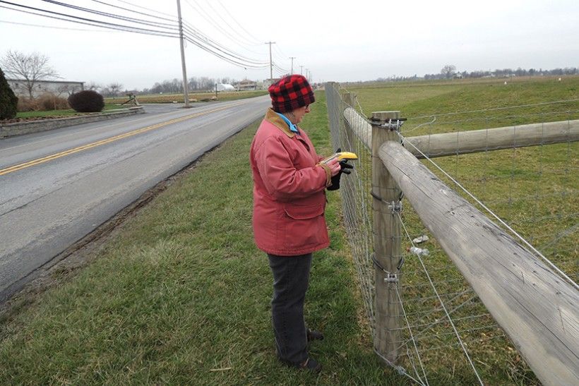
Using Global Positioning Systems (GPS), the Conservancy has the ability to document real-world features, including trails, structures, or unique vegetation, and incorporate them into GIS for further analysis and map production. In the image below, staff member Kim Gordon records data on a field visit to a potential easement property using one of the two Conservancy GPS units.
We Can Help You, Too!
The GIS team also works with outside organizations, including other land trusts, parks, gardens, and communities, to accomplish their mapping needs. For more information, visit http://www.brandywine.org/conservancy/conservation/mapping.
If your organization has a mapping project and requires assistance, or if you have general GIS questions, feel free to give me a call at 610.388.8108 or send an email to Michele Gandy at [email protected]. We look forward to hearing your questions!