We are living in an unusual time. With many of us now working from home, we’ve become experts at programs like Zoom, WebEx, Microsoft Teams and a multitude of other technologies that help ease the transition and keep us connected to family, friends, colleagues and collaborators. For those of us who are lucky enough to have jobs we can perform remotely, we find that the disruption is not actually all that disruptive to our work. However, it does make us think a little harder about what we can and cannot do from the comfort of our own homes.
One task that you would not expect to be able to perform remotely is the monitoring of properties under conservation easement. The Brandywine Conservancy holds 488 conservation easements on 37,506 acres in southeastern Pennsylvania and northern Delaware. We monitor each of these properties every year in order to fulfill our obligations as stewards of the easements in perpetuity.
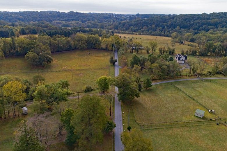
You may be surprised to learn that monitoring of conservation easements is something we are able to do from home. Companies like Nearmap give us access to high-resolution aerial photography, along with the dates the images were taken. Similarly, Google Earth Pro allows us to see recent satellite images of certain areas. Using these resources, we can overlay easement boundaries onto the images and get clear, up-to-date pictures of our conservation easement properties, which we compare with other aerial images and previous years’ observations.
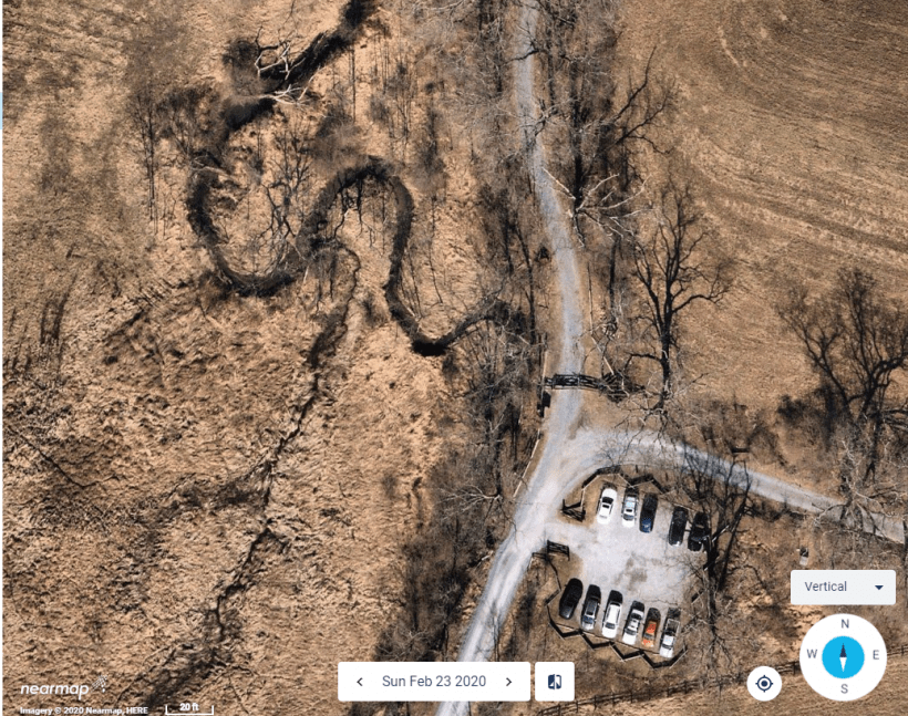
Image
Nearmap high resolution aerial photography of The Laurels Preserve. When analyzing the image, it is possible to zoom in to get greater detail of a particular area.
Obviously, this technology cannot be utilized in every instance. For example, façade easements, which protect the historic character of a building’s façade, cannot be monitored remotely. Similarly, it is hard to monitor ground-level changes to wooded areas using images that were taken when leaves were on the trees. This makes services like Nearmap particularly useful, as they fly over areas multiple times per year, with at least one image in leaf off condition.
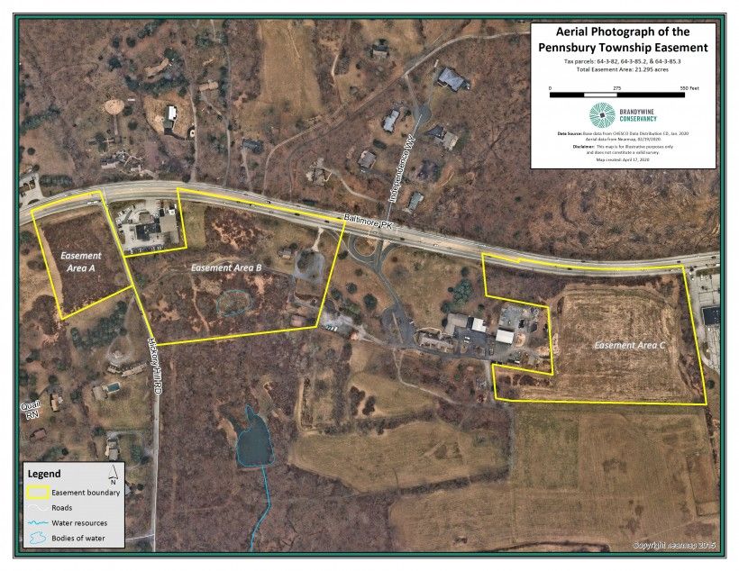
Image
Nearmap high resolution aerial photography monitoring map of the Pennsbury Township Conservation Easement.
The Conservancy has been utilizing satellite-monitoring technology for several years now. This year, we are transitioning to high-resolution aerial photography. It is important to note that analyzing an image is not equivalent to boots on the ground when it comes to monitoring. It eliminates the yearly personal connection with the landowners as well as the observation of plant and animal communities and their interactions. For these reasons, we do not solely monitor remotely. We are required to complete ground monitoring at least once every five years to meet accreditation requirements through the Land Trust Accreditation Commission. Having the protocols and procedures in place already for satellite monitoring allows us to hit the ground running once we get the 2020 images. Of course, we wish we could actually “hit the ground,” but in these unusual times we are grateful to have access to yet another technology that enables us to work comfortably from home.