Now Available: Brandywine Flood Study Report
Following an extensive study period, with a series of public outreach meetings and community engagement efforts, the final report of the Brandywine Flood Study is now available.
Click here to view the Brandywine Flood Study Report
Additional supporting documents include:
– Executive Summary of the Brandywine Flood Study
– Full Technical Compendium (individual sections linked below):
- Section 1: Watershed Conditions
- Section 2: Historic Flooding Data
- Section 3: Climate Projections & Storm Event Analysis
- Section 4: Watershed Build-Out Assessment
- Section 5: Hydrologic & Hydraulic Modeling Methodology
- Section 6: Public Engagement and Feedback
- Section 7: Municipal Engagement and Assessment Reports
- Section 8: Bridge, Culvert, and Dam Analyses
- Section 9: Floodplain Restoration and Dry Dam Analyses
- Section 10: Stormwater Infrastructure Assessments
- Section 11: Conservation Easement Resources and Tools
- Section 12: Additional Stormwater/Flood Studies in the Brandywine Watershed
You can also watch a recording of our "Brandywine Flood Study: Key Findings & Next Steps" webinar below or click here.
About the Brandywine Flood Study

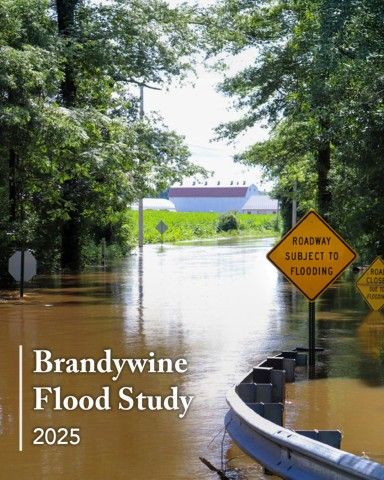
In response to more frequent and extreme flooding events impacting communities along the Brandywine Creek in both Pennsylvania and Delaware, the Brandywine Conservancy launched the Brandywine Flood Study in August 2023—nearly two years after Hurricane Ida produced historic flooding that devastated the region. Conducted in partnership with the Chester County Water Resources Authority (CCWRA) and the University of Delaware Water Resources Center (UDWRC), the flood study was a coordinated effort to better understand where and why flooding occurs and identify the best approaches to protect our communities from future severe flooding events.
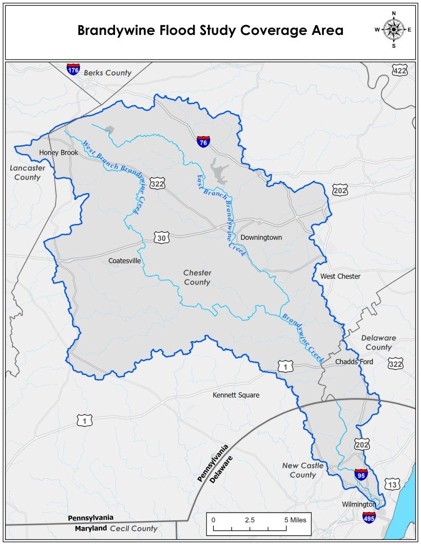
The study examined flood reduction along the Brandywine Creek from the headwaters in Honey Brook, PA, to Wilmington, DE and key tributaries. The study identified chronic flood sites, developed hydrologic and hydraulic watershed models using the U.S. Army Corps of Engineers’ Hydrologic Engineer Center’s River Analysis System (HEC-RAS), and provided recommendations for structural and non-structural flood solutions. In coordination with Delaware flood mitigation efforts, multiple flood attenuation projects were identified, including pilot projects on Brandywine Conservancy-owned properties that may serve as models for watershed-wide sites. This work provides a deeper understanding of what contributes to the flooding along the Brandywine Creek and what can be done to mitigate those measures.
Now that the Brandywine Flood Study is complete, there is still much work to do implementing the study’s recommendations so that the watershed and its residents in both states are better prepared, protected, and equipped to rebound from future severe flooding events. All of the implementation recommendations include both collaborative action and individual stakeholder projects. Achieving full implementation of this study’s potential will require engagement and collaboration from stakeholders throughout the watershed. The Brandywine Flood Study partners are committed to supporting the implementation of these strategies and to continue evaluating new opportunities to reduce localized and regional flooding in the future.
Public Engagement

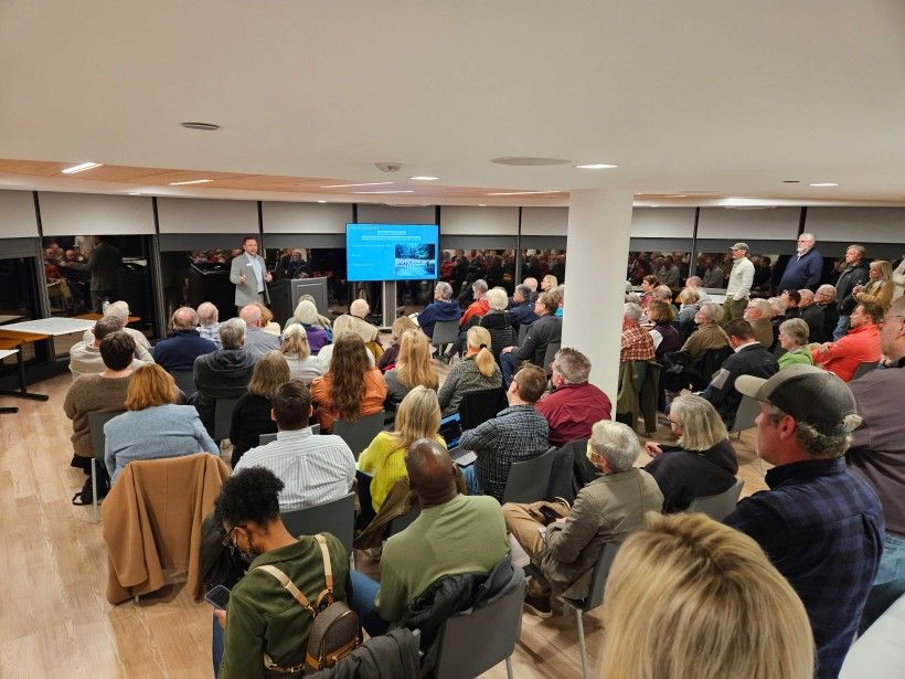
During the study period, a series of public meetings were held across the watershed to receive feedback on locations and experiences with flooding, questions and concerns that people had with the study, and to receive public comment on the draft documents of the study.
Each meeting opened with a brief presentation and study update, followed by an open-house discussion. Additionally, public input stations were available for attendees and study team partners were available for more engaged 1:1 discussion on the study updates.
From Winter 2023 through Winter 2025, over 35 public meetings, listening sessions, and forums were hosted across the watershed at locations within the City of Wilmington and New Castle County in Delaware and at multiple Pennsylvania locations in Chadds Ford Township, the Borough of Downingtown, and in the City of Coatesville, totaling over 1,500 public interactions. There was also an online public survey, an interactive flood mapper, a media/communications toolkit, and a comprehensive project website.
Project Partners
The Brandywine Flood Study was led by:

With additional technical support provided by:
Stroud Water Research Center, West Chester University, Meliora, Biohabitats, CDM Smith, and Gannett Fleming.
Funders
The Brandywine Flood Study was funded through grants from FEMA, PEMA, Chester County Government and Delaware County Council.

Contact Us!
For more information about the Brandywine Flood Study and future implementation updates, click here to join our email list. You can also contact us directly with any questions at [email protected].
Header image: Courtesy of Chester County Water Resources Authority