Project Spotlight: Connecting History, Community, and Recreation Along the Mason-Dixon and Arc Boundaries
After two years of research, community engagement, and strategic planning, the Mason-Dixon/Arc Corner Heritage Interpretation and Connectivity Plan is entering its final review phase. This initiative brings together four neighboring municipalities—London Britain, New Garden, Franklin, and Elk Townships—to celebrate and share their region’s unique history while strengthening connections between heritage, community, and recreation.
Building on the successful model of the Brandywine Battlefield Heritage Interpretation and Connectivity Plan, this new effort provides a framework for interpreting key historical themes and stories across the region. The plan outlines a vision for creating a cohesive network of sites that invite residents and visitors to explore the area’s past while enjoying its scenic landscapes and recreational opportunities.
The Power of Place: The Mason-Dixon Line and Arc Boundary
The Mason-Dixon Line and Arc Boundary are physical and cultural entities that connect and interweave through the townships’ histories. They guided settlement and development within the region, playing a formative role in early colonial expansion and in the nascent years of the country.
Preserving and interpreting these stories is essential to fostering a deeper sense of place. Just as historic buildings and landscapes embody the past, the stories connected to these landmarks help communities and visitors understand their significance.
To organize and prioritize interpretation, the plan uses the Chester County Heritage Interpretation Network framework, which groups sites into four categories: Gateways, Heritage Centers, Interpretive Sites, and Viewing Corridors. Since Gateways were outside the scope of this project, the team focused on identifying Heritage Centers—sites with basic amenities and a 15–30-minute visitor experience—and Interpretive Sites, which offer focused storytelling at locations with minimal infrastructure.
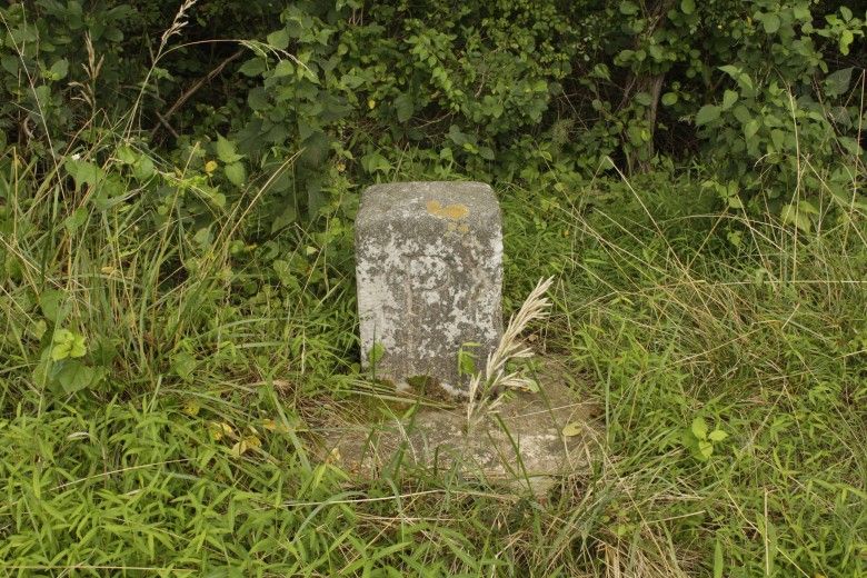
 and White Clay Creek State Park (DE). Credit: Beth Burns")
Proposed Heritage Centers
Two potential Heritage Centers emerged through the planning process:
- The Sexton’s House at White Clay Creek Preserve (Mason-Dixon Story)
Currently unoccupied, the Sexton’s House has the potential to host engaging exhibits about the Mason-Dixon Line. While its use would require approval from the Pennsylvania Department of Conservation and Natural Resources, its location makes it an ideal starting point for exploring Mason-Dixon-related sites.
From the Preserve, visitors can travel a short distance to London Britain Township’s Mason-Dixon Greenway South. From there, a brief walk leads to Mason-Dixon Mile Marker 1, one of many markers along the historic line. Additional interpretive experiences are available at places like Old Stone Cider in Elk Township, where visitors can visualize the boundary in the tree line that cuts through open farm fields.
- New Garden Township Park and Historic Lyceum (Arc Boundary Story)
The second proposed Heritage Center focuses on the Arc Boundary and New Garden Township’s local history. Envisioned primarily as an outdoor interpretive experience, this site would introduce visitors to the Arc Boundary before they embark on hikes in White Clay Creek Preserve or White Clay Creek State Park (DE) to explore landmarks such as the Arc Monument and the Arc Boundary 1 Mile Marker.


Building a Connected Heritage Network
This plan represents the beginning of a long-term, evolving effort. Interpretation is never static, new research, emerging stories, and related projects in nearby municipalities will shape how history is presented over time. By establishing a flexible yet clear interpretive framework, the plan ensures that these stories remain accessible to the public while protecting the natural and historic resources that bring them to life. Implementing the plan will take time and occur in phases. The townships will continue to work with their historic commissions and identified property owners to begin developing the interpretive content and exhibit materials for the sites. By recognizing the network within the plan, each site’s interpretation can be designed to relate to and reference other locations, allowing history to take place across the landscape where it actively occurred. The result will be a connected network of places where residents and visitors can walk, hike, and explore while deepening their understanding of this remarkable region.