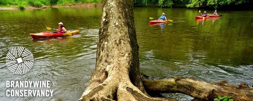
Director's Report
While there is much to be said about the Conservancy staff’s heightened efforts to keep engaged with our partners, our mission and our work during the restrictions imposed by the COVID-19 pandemic, there is another equally important issue that needs to be addressed.
As a Board member and a member organization of the Pennsylvania Land Trust Association (PALTA), the Brandywine Conservancy and I support and embrace the content and sentiments of PALTA’s recent statement, “Conservation and Justice for All.”
I encourage you to click here to read PALTA’s statement. Please know that the Brandywine Conservancy will be a partner and ally with PALTA and other conservation organizations as we work together to realize these goals.
Best to you all,
Ellen
Ellen M. Ferretti
Director, Brandywine Conservancy
Market and CSA farming in the time of COVID-19
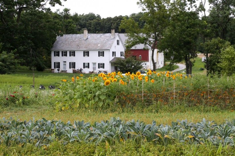
In this guest article, hear from Two Gander Farm's co-owner Deirdre Flemming on how their small, family-run organic farming business has been adapting to the many challenges of the COVID-19 pandemic.
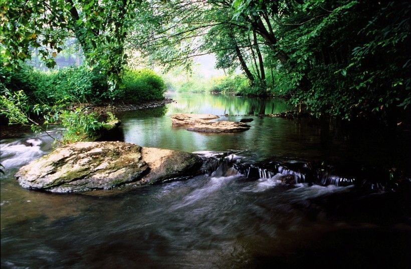
The Nation’s Founding Fish Returns to America’s Most Historic Small Watershed
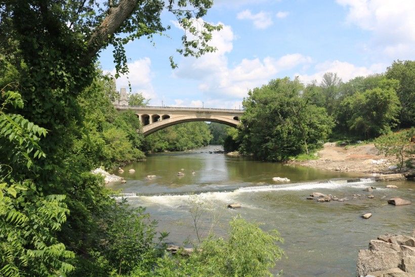
With the recent stories in The New York Times and on NPR, word is getting out about Brandywine Shad 2020. Learn all about the group's recent progress—and the work that continues—to restore the region’s most historic fish to the Brandywine River in this guest blog written by Gerald McAdams Kauffman, Director of the University of Delaware Water Resources Center.
Making Good Ordinances Even Better:
Increasing the Use of Green Stormwater Infrastructure and Low Impact Design through Chester County’s Municipal Ordinances

As part of the William Penn Foundation’s Delaware River Watershed Initiative, the Brandywine Conservancy and Natural Lands were funded to conduct a series of municipal ordinance assessments that focused on the incorporation of Green Stormwater Infrastructure (GSI) or Low Impact Development (LID) practices aimed at better managing stormwater runoff and improving water quality. The purpose of these assessments was to identify gaps in regulatory standards and barriers to achieving improved water quality.

This ordinance assessment focused on municipalities in four focus areas in Chester County, including the Brandywine Creek headwaters, and the Plum Run, Red Clay and White Clay watersheds. In total, ordinances were reviewed for 30 municipalities, 18 of which were in the focus area watersheds and 12 adjacent to these focus areas.
GSI and LID practices can often be required in zoning ordinances, subdivision and land development ordinances (SLDO), and stormwater management ordinances. The Conservancy and Natural Lands staff looked for ordinance sections on residential street design; parking; conservation subdivision design; riparian, wetland and floodplain protection; site practices (i.e., rooftop runoff, clearing and grading); tree conservation; stormwater; plan submittal requirements; and site and parking lot landscaping.
Overall, Conservancy and Natural Lands staff found that most assessed municipalities already have good ordinance provisions that promote the use of different GSI and LID practices. In addition, a majority of the ordinances had wetland and floodplain protections, and many also had riparian buffer protections. All of the municipal stormwater management ordinances reviewed closely reflected Chester County’s pioneering Act 167 model stormwater ordinance. Some of the assessed municipalities included additional requirements that tailored the County’s model to the municipality’s individual stormwater needs. Finally, many municipalities had tree conservation requirements within their ordinances to address new development.

Through these assessments, Conservancy and Natural Lands staff also identified several general areas for ordinance improvement. For instance, municipalities can use cross-referencing to strengthen connections between their zoning, SLDO, and stormwater ordinances in order to help with consistent administration and enforcement. Residential street design standards can be improved through the use of roadside stormwater swales and reduced street width requirements to reduce or mitigate storm runoff. Parking requirements can be strengthened by incorporating GSI design into landscaping standards, encouraging the use of pervious paving, and by allowing reserved and shared parking to reduce parking requirements. Ordinance appendices can also be used to illustrate common GSI and LID practices.
By increasing the emphasis on use of GSI and LID practices within ordinances, municipalities can better achieve water quality improvement goals and MS4 requirements. The Brandywine Conservancy and Natural Lands are funded by the William Penn Foundation to provide free ordinance writing assistance to eligible municipalities within the Brandywine-Christina watershed.
Contact us for more information on eligibility and assistance.
We're Here to Help: Get Assistance with Your Natural Resource Protection Ordinances

The Brandywine Conservancy’s Municipal Assistance Program (MAP) staff is here to help Pennsylvania municipalities with everything from complete zoning or subdivision ordinances and updates to more specialized ordinance provisions that promote sound land use and environmental management. MAP staff have extensive experience with agricultural preservation zoning, transferable development rights, conservation design and natural resource protection standards—including the regulation of timber harvest uses.
Our natural resource protection standards, for example, have been enacted by numerous municipalities over the past few decades and continue to withstand the test of time. These standards typically require a thorough site inventory and analysis to accompany all plan submittals for municipal approval, and guide development to the less-sensitive, more buildable areas of the lot or parcel. Our sample ordinances, when implemented by municipalities, help protect floodplains, wetlands, steep slopes, riparian forest buffers, woodlands, rock outcroppings, specimen trees, and other natural features through zero disturbance or through limited disturbance and careful incorporation within a thoughtful development design.
MAP staff continue to refine natural resource protection ordinances to increase their effectiveness for solving diverse environmental issues. For example, MAP has been funded through the William Penn Foundation’s Delaware River Watershed Initiative (DRWI) to help Chester County municipalities within the Brandywine Christina watershed add effective riparian forest buffer protection standards to their zoning ordinances. These standards are based on the best available science and typically establish a minimum 100-foot wide forest buffer along any stream and a minimum 50-foot wide buffer adjoining a wetland, pond or lake. Where the streamside forest once existed, the replanting of native trees and shrubs is required for most new development activity.
For municipalities with a strong agricultural presence, our riparian buffer protection provisions recognize that other agricultural best management practices can also protect and improve stream quality. A discretionary reduced forested buffer width option can now be included for agricultural areas where a landowner’s valid conservation plan is being implemented. To further accommodate farming communities, our riparian buffer replanting provisions permit landowners enrolled in the federal Conservation Reserve Enhancement Program, or CREP, to use their streamside buffer plantings to meet zoning ordinance requirements.
The Conservancy’s woodland protection ordinances have evolved from simple “one size fits all” protection requirements to standards based on a municipally-based woodland classification tool. Prior to crafting woodland protection standards for a municipality, or as part of a comprehensive or open space plan update, our GIS specialists can inventory and rank woodland resources by their ecological and community values. Factors for ranking include woodland size, extent of forest interior, length of stream frontage, and slope of the underlying land, and the resulting maps divide woodlands into one of three classes, with Class I being most valuable. The Conservancy’s woodland classification mapping tool relies on GIS technology and publicly available data sources. We encourage our client-municipalities to ground-truth draft woodland classification maps (using spot checks) to verify their accuracy, particularly when linked to ordinance language.
Woodland protection standards for a zoning ordinance are then drafted by MAP staff that assign an increasing level of protection to the relevant mapped woodland class. For example, Class I woodlands that fall on very steep slopes would typically be limited to a maximum of 15% disturbance. Woodland replacement standards are included where unavoidable disturbance exceeds these limits. Where woodland classification maps are referenced by an ordinance’s woodland protection standards, land development applicants are encouraged to submit their own woodland analysis should such maps be too general to accurately evaluate the project’s impacts.
Lastly, in 2019 MAP staff released a draft set of forestry/timber harvest provisions for municipalities to consider for their zoning ordinances. Prior to releasing its final set of sample provisions, the Conservancy hopes to reach a successful compromise with the PA State Attorney General’s Office that results in a set of timber harvest regulations that balances the diverse needs of woodland owners with the environmental objectives of municipalities.
MAP staff are available to help southeastern Pennsylvania municipalities protect their natural resources through effective local regulation. Within the Brandywine Christina watershed, our planners can offer ordinance writing assistance at no cost to municipalities when ordinance products further quality objectives. Our work providing municipal regulatory assistance throughout Chester County should also be eligible for a County Vision Partnership Program (VPP) grant.
Please contact the Brandywine's John Theilacker to learn more about our natural resource protection ordinance assistance.
Invasive Species Spotlight: Butterfly Bush
 in flower (surrounded by native wildlfowers). Photo by Leslie J. Mehrhoff, University of Connecticut, Bugwood.org")
Butterfly Bush is a surefire attention-grabber. A common sight in our region’s gardens and landscape plantings, its fragrant conical blooms—typically festooned with fluttering butterflies and buzzing bees—are hard to miss. Although eye-catching, hardy, and seemingly helpful to butterflies and other pollinators, Butterfly Bush is far from beneficial; in fact it’s actually an invasive species that can impair the health of our local ecosystems.
Brandywine Conservancy Introducing a New Mini Grant Program
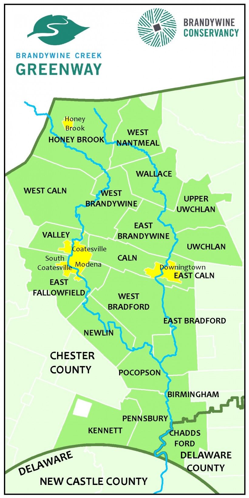
The Brandywine Conservancy was recently awarded $40,000 from the DCNR Community Conservation Partnership Program Environmental Stewardship Fund, administered by the Bureau of Recreation and Conservation (BRC). These funds will enable the Brandywine Conservancy—coordinator of the Brandywine Creek Greenway—to run a mini grant program in 2020-2021 that will provide funding of $2,000 to $10,000 to projects that support and advance the goals and objectives of the Brandywine Creek Greenway.
The grant funding is anticipated to open in late July 2020 with applications due by mid-September 2020. An official announcement will be made later this summer via the Brandywine Creek Greenway's e-newsletter and website when the grant round opens.
To receive news from the Brandywine Creek Greenway, click here to sign up for the BCG e-newsletter.
Brandywine-Christina Watershed Protection Work Continues
The Brandywine Conservancy staff are continuing their work under the William Penn Foundation’s Delaware River Watershed Initiative (DRWI) grant. The first month or so of the COVID-19 pandemic and resulting stay-at-home orders delayed most work, as people and institutions adjusted to the situation. Public municipal meetings were halted, government agency functions slowed dramatically, much of our in-field agricultural restoration work was prohibited and, of course, face-to-face landowner meetings ceased entirely.
But things have changed for the better since then. Municipalities are now allowed to hold virtual public meetings, state and county agencies are fully operational to a large degree, and the implementation of agricultural Best Management Practices (BMPs)—including practices involving construction—are now permitted. Moreover, the William Penn Foundation has extended our existing DRWI grant by an additional year.
The Foundation realized that the COVID-19 Pandemic had severely constrained many of its grantees and made certain planned work activities nearly impossible to carry out. The three-year Phase 2 grant period was originally scheduled to end in February 2021, but the grant has now been extended to February 2022 with an additional year’s funding.
Last fall, the Foundation informed all of its DRWI grantees that it would be funding another round of three-year grants. It calls this proposed new grant round “Phase 2+” because it wants all the grantees to essentially follow their current Phase 2 Plans with relatively minor adjustments. Conservancy staff along with our DRWI Brandywine-Christina Watershed Partners were working on a plan for Phase 2+ before the pandemic struck, with further development on-going.
During the rest of this year and next, the Partners will continue to pursue Phase 2 grant activities, such as: conserving farmland in the Brandywine Headwaters; conducting agricultural restoration in the headwater reaches of the Brandywine, Red Clay and White Clay creeks; assisting municipalities with water and natural resource protection plans and ordinances; providing technical assistance on stormwater management issues in the suburbanized Plum Run watershed; and advising municipalities throughout the watershed on MS4 and TMDL compliance. In fact, a stream restoration project in the Plum Run watershed has already been completed and others are about to start. Multiple stream reforestation projects are either underway or have been recently completed. Whole farm BMP implementation projects are in progress, and municipal planning projects are ongoing. At the same time, the Partners are developing a plan for Phase 2+.
Even in this time of great uncertainty, we continue to pursue our work to protect and restore water quality in the Brandywine–Christina watershed.
The Brandywine-Christina Watershed Partners are a collaboration of six nonprofit organizations, funded by the William Penn Foundation through the Delaware River Watershed Initiative (DRWI), working together to protect and restore water quality. The Partners are comprised of the Brandywine Conservancy, Brandywine Red Clay Alliance, Natural Lands, Stroud Water Research Center, The Nature Conservancy in Delaware and the University of Delaware Water Resources Center.
Explore More Brandywine Parks and Preserves on the Greenway App
The Brandywine Creek Greenway mobile app has been expanded to include over 100 parks and preserves that are open to the public near and along the Brandywine in New Castle County, Delaware. The app is available to download for free on both Apple and Android devices.
A handy tool to have on the go, the app provides information on over 200 parks and preserves wherever you are in the Brandywine region of Delaware or Pennsylvania. Use it to explore and find new places to bike, bird, boat, ride horseback, fish, picnic, play, swim and hike along the Brandywine. Funding for the Brandywine Creek Greenway mobile app was provided by the William Penn Foundation.
Click here to learn more and to download the Brandywine Creek Greenway app.
Penguin Court and Ligonier Valley Historical Society Host Inaugural Native Plant Sale

With a background in Animal Sciences, Theresa Gay Rohall—Executive Director of the Ligonier Valley Historical Society (LVHS)—always wanted to have a plant sale to raise funds for her organization and elevate the importance of native plants in the landscape. Since the Brandywine’s Penguin Court Preserve grows and promotes native plants, staff of the two organizations met to discuss holding a native plant sale at LVHS’s Compass Inn Museum along the Lincoln Highway (Route 30) in Laughlintown, Westmoreland County. With an increasing number of property owners becoming aware of and embracing the benefits of native plants and the wildlife they support, the time seemed right to make native species more available to the public. Plus, Penguin Court is only a mile away from the Compass Inn Museum, so the proximity made the partnership even more ideal.
While originally planning to offer plants through a pre-sale, followed by a physical sale with even more species available at Compass Inn Museum in May, the global pandemic curtailed those plans. Still, people wanted native plants, so the prudent and safest option was to only accept pre-orders and pre-payments, with plants picked up at scheduled times to limit congregating.
For the inaugural sale, 13 species were offered and carefully selected to ensure continuous blooms throughout the growing season. Catalogs were sent to interested individuals and the response was overwhelming! “The partnership was wonderful,” commented Ms. Rohall. “Combining both organizations’ passion for our natural world and the heritage of our community made the partnership a natural fit. Unifying our missions for the greater good of the planet, our community, and realizing the joy of those who bought plants made it all worthwhile.”
Sales surpassed the organizations’ goal by 30%! In fact, nine of the 13 species sold out, with the lovely orange butterfly weed and bold red cardinal flower being the top sellers.
“Our first plant sale with Compass Inn was a sweet success,” said Kevin Guerrier, Penguin Court’s Horticultural Manager. “I’m already developing a list of what we’ll grow for next year.”
Penguin Court and LVHS are grateful for the community’s support and plan to make this an annual event to occur the Saturday just before Mother’s Day.