These toolkits are designed to equip municipalities and other stakeholders with valuable resources for advancing natural and cultural resource conservation, enhancing recreation and transportation systems, and fostering resilience.
The Municipal Resource Toolkit offers practical tools covering the following key areas:
- General Planning
- Land Preservation
- Natural Resource Protection
- Historic and Cultural Resource Preservation
- Recreation and Transportation Infrastructure
- Climate Resilience
Each tool includes an overview that outlines the relevant issues it addresses, a guide on how to implement it, its regional applicability, and a list of case studies. Some toolkits include an additional technical bulletin that provides more detailed guidance such as a step-by-step implementation process and supplementary resources for deeper exploration.
This is the first installment of a series of tools that will be released. Subsequent toolkits will be organized by the themes listed above with the goal of providing a breadth of valuable resources for each.
See our newest toolkits:
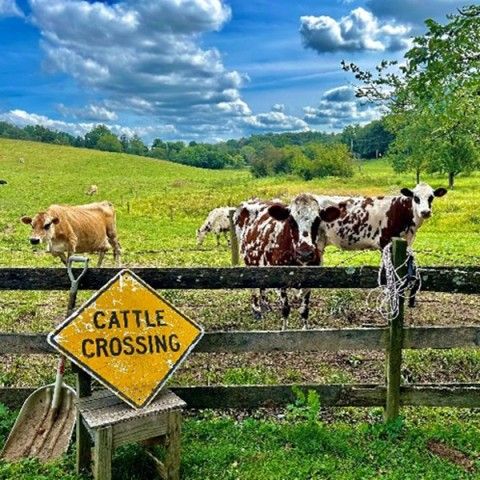
Agricultural Best Management Practices
Agricultural Best Management Practices (BMPs) refer to a set of strategies, methods, and technologies implemented by farmers and land managers to minimize the environmental impact of agricultural activities.
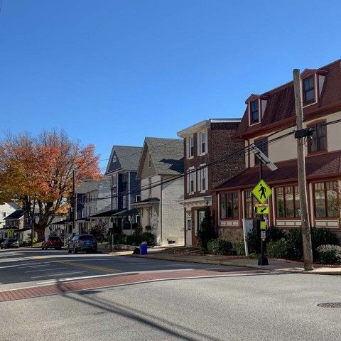
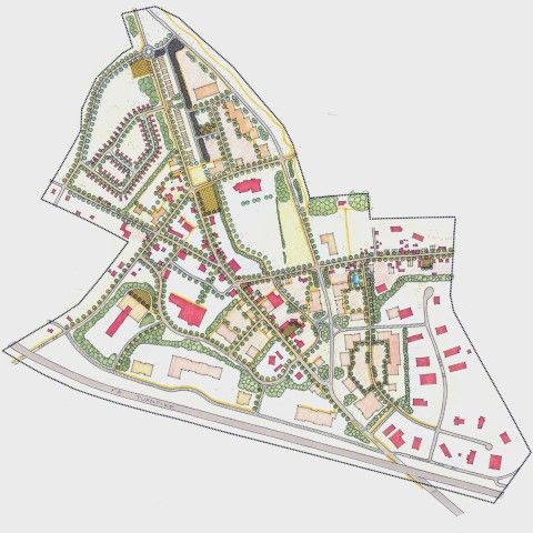
Comprehensive Plans
A Comprehensive Plan is a long-term strategic guide for a municipality's development, covering areas like land use, infrastructure, housing, transportation, economic growth, and environmental protection. It sets a vision for the future and helps shape decisions.
Multi-Municipal Planning
Multi-municipal or regional planning involves collaboration between neighboring municipalities, such as townships and boroughs, to share costs, plan across boundaries, and consider shared services for traditional municipal projects.
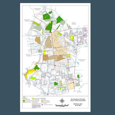
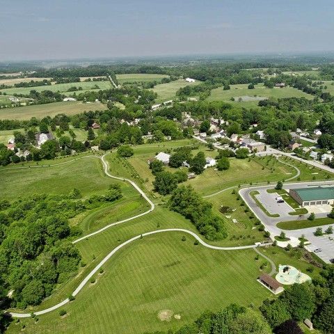
Official Map
An official map is a tool that helps municipalities guide future growth, aligning with the goals of their Comprehensive Plan. It includes a map and ordinance that legally designate the locations of streets, waterways, parks, and other public lands or facilities.
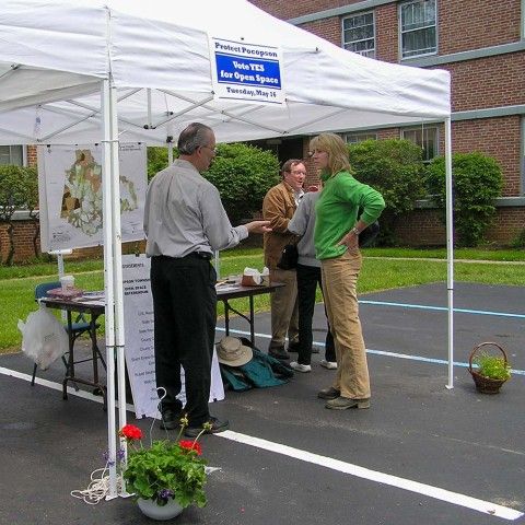
Open Space Referenda and Bonds
An open space referenda allows local citizens to vote on creating a dedicated tax for open space protection.
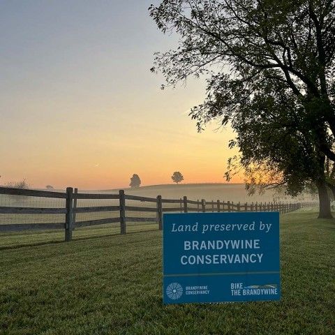
Open Space Planning and Prioritization
Open space plans help municipalities plan for the preservation of land by setting clear goals and priorities, enabling them to focus resources on high-impact projects.
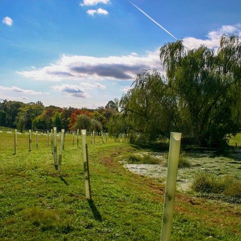
Riparian Buffer Regulations
Riparian buffer regulations are established by municipalities to protect the vegetated areas along watercourses, such as streams, rivers, and lakes, by requiring the preservation or restoration of natural buffers.
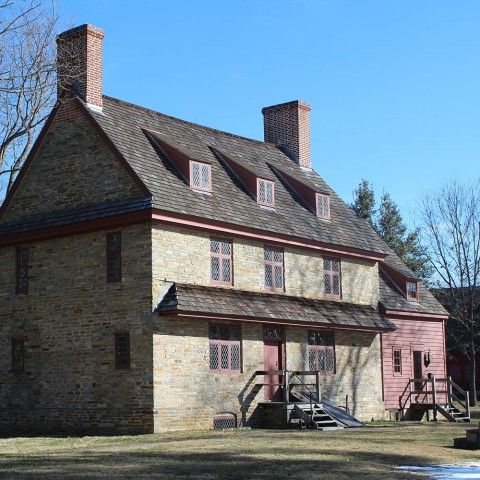
Historic Resource Survey
Historic Resource Surveys inventory and assess historic resources in an area. They are essential for informed decision-making in preservation, development, and community planning by integrating valuable historical resources into local planning efforts.
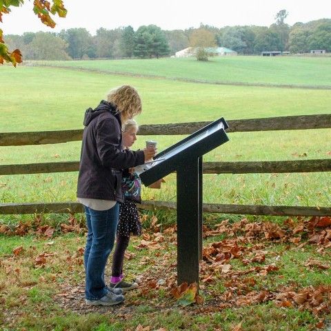
Heritage Interpretation Plans
Heritage Interpretation Plans provide a structured approach to conveying information and stories about heritage sites to those visiting. At a regional level, they identify ways to connect and organize sites thematically, so the area presents a cohesive and engaging story.
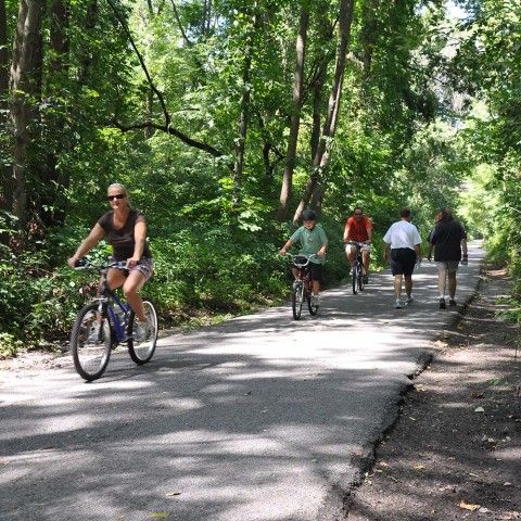
Active Transportation Plans
Active Transportation Plans guide the development of accessible networks of transportation for a range of users including pedestrians, cyclists, and individuals with disabilities.
Sustainable Community Assessment
A Sustainable Community Assessment reviews municipal planning documents, such as the Comprehensive Plan and Zoning Ordinance, and provides recommendations for both short- and long-term improvements. These recommendations include new regulations and policies aimed at promoting sustainability within the community.
Cost of Community Services
Cost of Community Services (COCS) studies help communities understand the financial impact of different land uses by comparing the cost of local government services to the tax revenue each land use category generates.
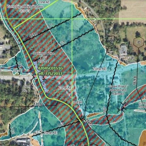
Floodplain Regulations
Floodplain regulations are used to protect the natural connection between streams, rivers, and their floodplains while also safeguarding communities from costly flood damage by preventing inappropriate land use and the storage of hazardous materials that could cause significant ecological and health impacts during a flood.
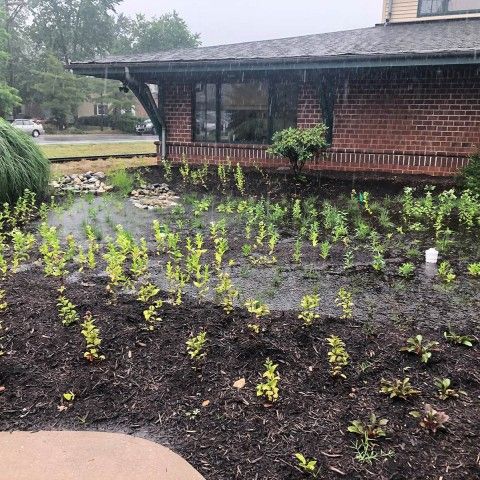
Green Stormwater Infrastructure
Green Stormwater Infrastructure (GSI) mimics natural systems to reduce runoff, remove pollutants, and promote infiltration at the source, offering a cost-effective, resilient alternative to highly engineered gray systems while providing communities with enhanced aesthetics and natural resource benefits.

Historic Resource Disaster Planning and Climate Resilience
Early development along waterways makes many of Pennsylvania’s historic communities, especially vulnerable to flooding and other hazards like wind, earthquakes, heat, and drought that threaten cultural resources.

Native Plants
A native plant is a species that naturally occurs in a specific region, ecosystem, or habitat without human intervention. These plants have evolved and adapted to the local climate, soil, and other environmental conditions over a long period of time.
Sketch Plans
The submission of a sketch plan provides an opportunity for the applicant to meet with municipal officials allowing both parties to discuss the project at the conceptual level before the preliminary engineering begins.
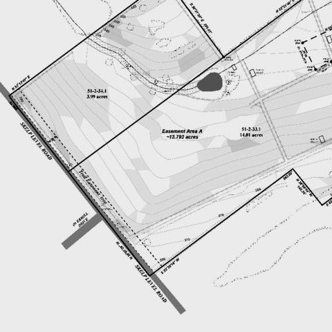
Trail Easements
Trail easements are legal agreements between two entities that reserve a corridor of land for the purpose of creating, maintaining, and providing public trail access on privately owned property.